
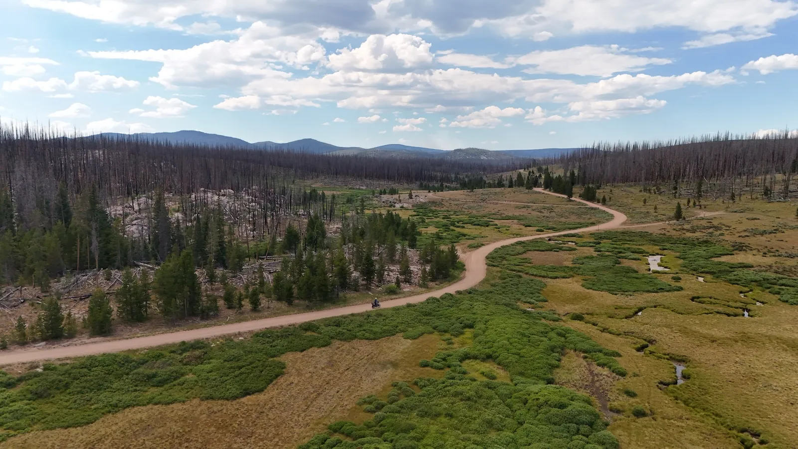
I grew up riding in the Alps. Switchbacks, passes around 6,500 feet, an inn at the top. Then you’re standing in Colorado at 12,800 feet, you haven’t seen a tree in an hour and there’s certainly no inn, and it lands: this isn’t the same thing scaled up. It’s a different thing. Here’s what actually differs, and why it changes how you ride.
The One Difference Everything Else Follows From
If you take one number away from this, take this one. In the central Rockies the treeline sits at roughly 11,500 feet. In the Alps it runs somewhere between 5,700 and 7,200 feet depending on where you are, occasionally a bit higher.
That’s well over 3,000 feet of difference, and the reason isn’t the height of the mountains. It’s latitude. Colorado sits considerably further south, gets more solar radiation, and trees simply grow higher.
On a bike that means this: an Alpine pass at 8,000 feet is already bare and rocky. A Colorado pass at 11,500 feet is only just starting to go bare. And the passes this trip is built around sit above that. Engineer Pass at 12,800 feet, California Pass at about 12,930. So you ride for hours across open ground with no tree, no windbreak, and no reference point except the horizon.
The Scale That Humbles You
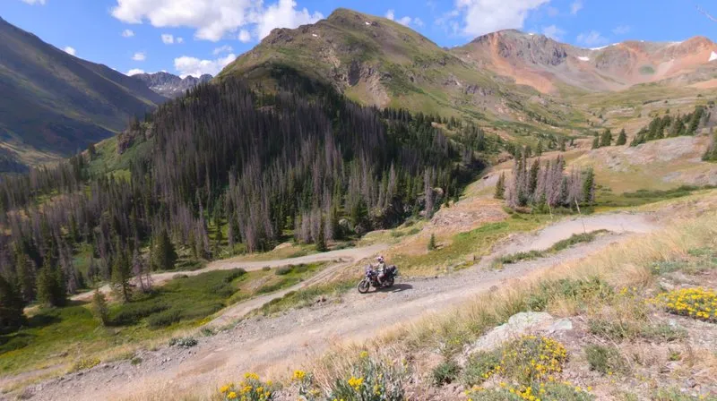
The second difference is harder to put a number on, and it hits harder. Phil from Colorado Motorcycle Adventures describes the American West as big scale: big mountains, big open spaces, and the genuine possibility of getting almost lost.
Talking to him I tried to describe it myself. Going up a pass from 8,000 to 13,000 feet and then looking down, for me it’s like going to the moon. You get much more respect for the earth and for nature. Everything is much bigger than you are, and that grounds you.
In the Alps you can nearly always see a village, a road, a lift from the summit. From California Pass you see mountains. And behind them, mountains. And then more mountains. None of it belongs to anyone who wants to sell you something up there.
Altitude Works Against You and Against the Bike
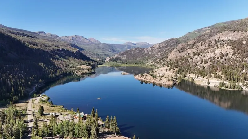
In the Alps, altitude is a scenery topic. In Colorado it’s a physics topic.
At around 12,000 feet a breath delivers roughly 40 percent less oxygen than at sea level. The oxygen share of the air stays the same, around 21 percent, but the pressure drops, so less arrives. You climb off the bike, walk ten steps, and you’re winded. If you haven’t trained at altitude you won’t believe it beforehand.
Water behaves differently too. At 12,800 feet it boils at about 189 degrees Fahrenheit instead of 212. We met an American up on Cinnamon Pass who had adjusted his grind and his dose for exactly that reason, so his espresso would still taste right.
And the bike notices. From roughly 11,500 to 12,000 feet the Aprilia’s throttle response goes noticeably doughy. That’s physics, not a flaw. You just ride it a gear lower and a few hundred rpm higher, and it does the job up there too.
The Weather Sets Your Schedule, Not the Other Way Around
In the Alps you check the forecast in the morning and then you ride. In Colorado you check the clock.
Afternoon thunderstorms over the open high country are the normal case here, not the exception. Phil warned us that at altitude the temperature can drop 30 degrees Fahrenheit when it rains, and fast. A local up at Crooked Creek Pass put it shorter still: in Colorado it can snow anytime, even in August.
The practical conclusion is simple and it shaped our whole rhythm: you ride the high passes in the morning. Anyone still up at 12,800 feet at three in the afternoon is either lucky or has a problem. And because that red earth turns genuinely slick when wet, this isn’t a comfort decision, it’s a safety one.
There’s also something the Alps rarely serve up: wildfires. We got caught once, the road closed. Those closures show on Google Maps and on onX, the off-road platform, but the most reliable way to hear about them is talking to people along the way.
What It Means for How You Ride
Surface is the last big difference. In the Alps you ride pavement and gravel is the exception. Here gravel is the transport infrastructure. These are perfectly ordinary public roads that simply never mattered enough to get asphalt. It takes a while to accept that this is legal and everyday, when the same track back home would carry a prohibition sign.
What tests you isn’t any single section, it’s the accumulation. Loose rock, washboard, exposed switchbacks and water crossings, for hours, in thin air. If you ride gravel confidently at home you can ride this. But you’ll be more tired in the evening than you expected, and that is exactly where the risk sits.
Distance: The Fuel Gap as Culture Shock
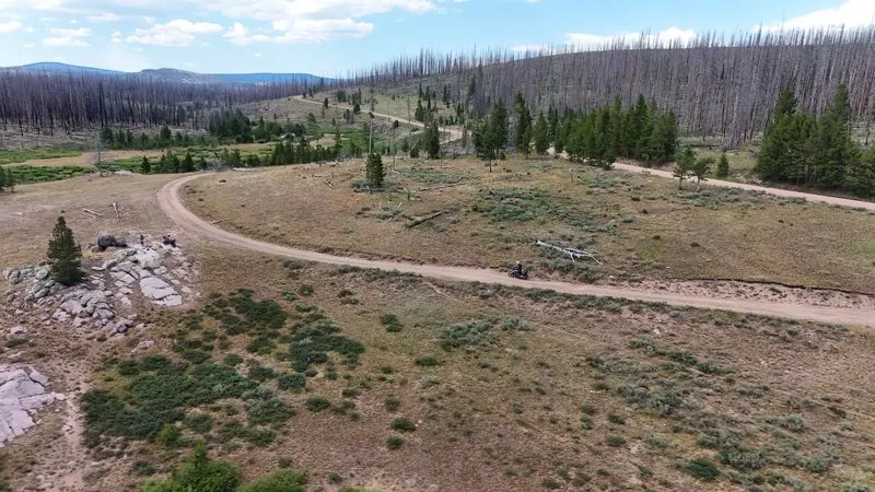
The difference that changes your planning most is mundane. In the Alps the next gas station is never far. In Colorado it can be 120 miles away.
We rode exactly that in one day without seeing a single pump. On the Alpine Loop there is no fuel at all between Lake City, Silverton and Ouray. That’s not an edge case, it’s the normal condition of a route that runs 745 miles end to end.
In the Alps you can improvise. Here you calculate. And you plan around people: one local we met rides with 150 to 175 miles of range and straps on fuel bags when he knows the leg is long. If you want that logistics side handled, Colorado Motorcycle Adventures in Golden is where our bikes, tracks and local knowledge came from.
Infrastructure You Never See
One detail stuck with me because it shows the scale so well. Enormous water pipelines run under these mountains to supply Denver, and there’s a huge molybdenum mine sitting in the middle of the landscape. From the road you see almost none of it.
In the Alps infrastructure is visible: cable cars, reservoirs, avalanche barriers, tunnel portals. In Colorado it’s often invisible and still bigger. Even Denver carries its altitude in its name. The Mile High City sits at exactly 5,280 feet, and the mark is set into the steps of the Capitol. Leadville goes further at 10,152 feet, the highest incorporated city in the country.
The Season Is Tighter Than You Think
Something Alpine riders underestimate consistently: the window here is narrow. The official recommendation for the Colorado Backcountry Discovery Route is July through September. Late June can work depending on snowpack, but the high passes often don’t clear until July.
In the Alps you can plan from May to October and there’s nearly always an alternative one level lower down. Here that level doesn’t exist. If the pass is closed, the stage is closed, and the detour costs you half a day. That’s the price of every interesting road sitting above 11,500 feet.
Which Is Better, and Why That’s the Wrong Question
I get asked this a lot, and the honest answer is neither. The Alps give you density. Twenty passes in a weekend, coffee at every altitude, a bed at night. That’s a luxury you only appreciate once it’s gone.
Colorado gives you the opposite: space, silence, and the experience of a landscape that doesn’t need you. The highest paved pass in the Alps tops out around 9,090 feet. In Colorado you ride above 12,900, on gravel, with no guardrail and no audience.
Coming from the Alps you have to unlearn two things. First, recalibrate your throttle hand for thin air. Second, stop thinking in passes and start thinking in days. Do that and Colorado stops being a bigger version of the Alps. It becomes what it actually is.