
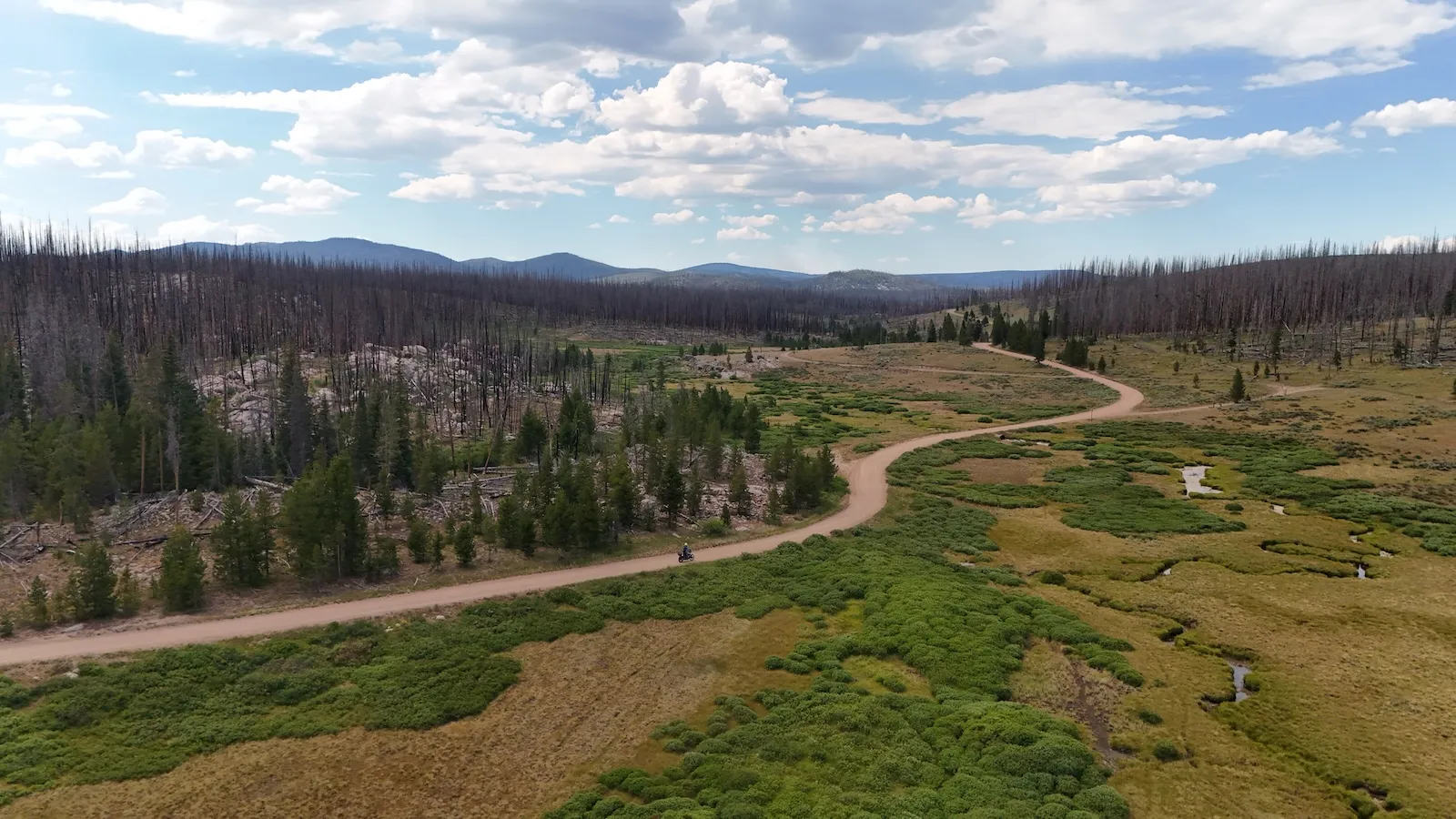
Look at this, the final boss up there is making us coffee. We’re standing on Cinnamon Pass at nearly 12,600 feet, the air thin, and an American has hauled a portable espresso machine up here and he’s grinding fresh beans. Why do you speak German, I ask him. Because I lived in Heidelberg for two years. Water boils around 189 degrees Fahrenheit up here instead of 212, so he’s dialed in his grind and dose to make the espresso taste right anyway. It’s the highest coffee I’ve ever had in my life. And in that one moment, everything is said about the America I want to tell you about.
An America That’s on No Postcard
Most people know one America: Route 66, the Grand Canyon, the big national parks with the full parking lot. But there’s a second country, and it starts where the pavement ends and the gravel begins. Above the treeline, in abandoned silver towns at 11,000 feet, on tracks above 12,900 feet, where a stranger makes you the highest coffee of your life. You don’t reach this America in a rental car. You only reach it on an adventure bike.
We rode it self-guided on the Colorado Backcountry Discovery Route, just the two of us, Clemo and me, in July 2026. It’s roughly 1,080 miles of the real thing. The route, the GPS file, the Butler map and the local logistics came from Colorado Motorcycle Adventures in Golden, near Denver, the go-to partner for the BDR. Out here, in this remote high country, that anchor is what makes the whole thing possible. Everything you read comes straight from the saddle.
Where the Fuel Runs Out: The Alpine Loop
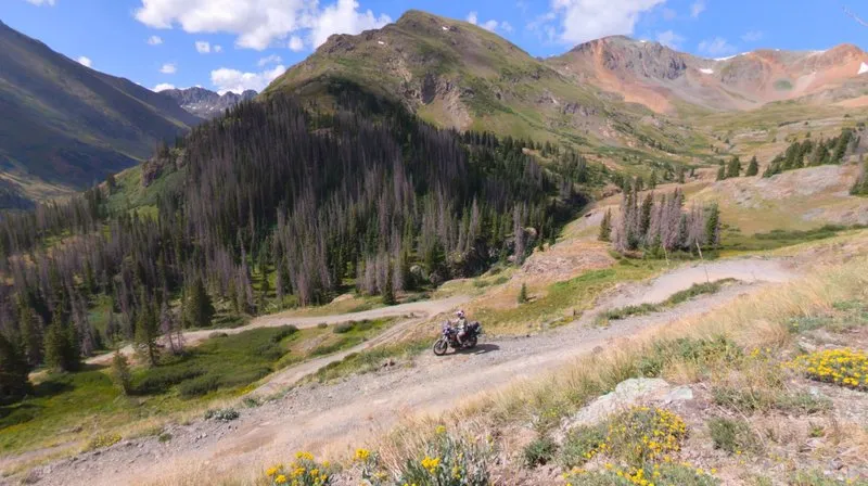
The day of days was the Alpine Loop, the single most awe-inspiring stretch of the whole tour. You start in Lake City at 8,670 feet, the last gas before the entire loop. After that there’s no fuel between Lake City, Silverton and Ouray. It’s a pure high-country gravel run, 65 miles of unpaved road, with a hard variant and an easy one. The low point sits at 7,900 feet, the high point at nearly 13,000.
In a single day you climb four passes above 12,600 feet: California at about 12,930 feet, Engineer at 12,800, Cinnamon at roughly 12,640, plus Hurricane Pass at about 12,700. Loose rock, exposed switchbacks, water crossings. And you feel the altitude in your body before your head believes it. All of a sudden the GPS reads 12,500 feet, you climb off the bike, freezing, and you can’t catch your breath because the air is that thin. You’re winded instantly, and you won’t believe it until you’ve done no altitude training and stood up there yourself. When it rains it gets truly serious, because that red earth turns unbelievably slick.
Two things nobody tells you in the planning stage. The loop only has a narrow snow-free window, roughly June through September, so a trip in May or October can end at a drift instead of a pass. And your phone is dead weight across most of it. No bars, no data, no calling for a tow. Whatever you carry up here is what you have.
Ghost Towns at 11,000 Feet
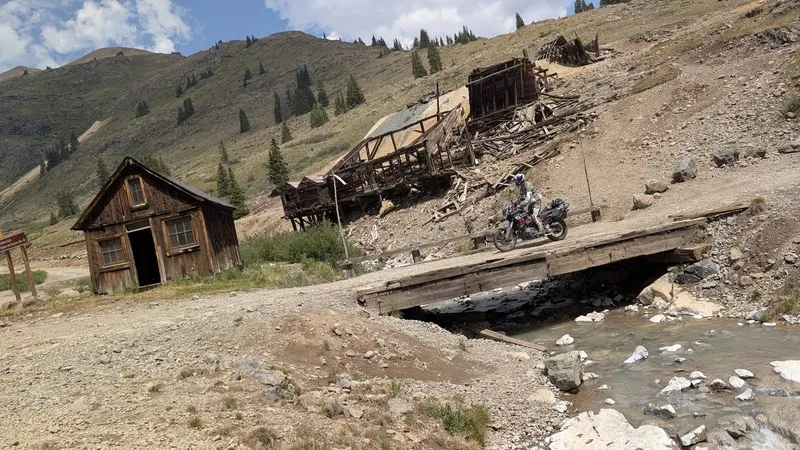
In the middle of all that emptiness stand the remains of a vanished rush. Animas Forks at 11,200 feet, one of the highest settlements in the San Juans, born out of the silver boom of the 1870s. Weathered timber houses, the restored place with the bay window, the Frisco Mill, protected today. Silence where the silver fever once raged. Farther down sits Ironton, hidden in the aspens beside the road, once home to more than a thousand people and two daily trains from Silverton. And at Red Mountain Pass stands the ghost town of Red Mountain Town, its rusted headframes right at the roadside, left behind after the silver crash of 1893.
The whole San Juan silver boom hangs in this landscape. Lake City as a boomtown, from which the wagon road over Cinnamon Pass was blasted into the Animas valley in 1877. Telluride as a silver camp, where Butch Cassidy robbed his first bank in 1889. You’re not riding through a movie set, you’re riding through real history, and nobody’s charging admission.
The numbers behind the ruins are what get me. Animas Forks started with a single log cabin in 1873 and grew to a summer population of about 450, all of it at 11,200 feet. The Frisco Mill wasn’t even built on site: it was cut at a lumber yard down in Durango, taken apart, shipped up by rail and reassembled here in 1912. Two years later it shut down, and the post office followed in 1915. At its peak the Red Mountain district alone held close to 40 mines and six little towns. Ride the loop today and you’ll pass the bones of all of it in an afternoon.
From Dynamite Rock to Red Earth
The most spectacular link in this world is the Million Dollar Highway, US 550. Otto Mears blasted it into the rock with dynamite and mules in the 1880s, turning an ore toll road into one of the most famous mountain roads in the country. Tight curves without guardrails, sheer drops, Red Mountain Pass at 11,018 feet. Just before it comes Corkscrew Gulch, iron-red slopes in the Red Mountain Mining District, a twisting gravel descent down to the highway. The color contrast of those red mountains against a blue sky stays with you long after the engine’s off.
Mears built the first stretch in 1883 to link Ouray and Ironton, and it cost him and his backers about 40,000 dollars a mile for 8.5 miles. That’s the kind of money you only spend when there’s ore at the other end. His toll road kept working into the early 1920s before the state rebuilt it for cars. Corkscrew Gulch got its name honestly too: those tight switchbacks were how miners hauled ore off the mountain. You’re riding a supply line, not a scenic route somebody drew for tourists.
This is also exactly where the altitude and weather show you no mercy. In one day you’ll measure 99 degrees Fahrenheit in the valley and low 40s up top in the rain. You dress for a mountain range, not a temperature. Get that wrong and the day turns from a highlight into an ordeal, no matter how good the views are.
People You Only Meet This Way
The heart of this trip isn’t the sights, it’s the people. The barista on the pass who speaks German. Josh from Cortez, who points us to the Barlow Trail in the morning because it’s a far better ride than any blacktop, and we actually take a stranger’s track tip straight into a beautiful afternoon that ends in a thunderstorm. Every single time we stop at a gas station, Clemens has three new friends. And a local asks us not to film up there, because otherwise even more people will come. The locals have no idea how exclusive the nature they’ve got to themselves really is. On some days 50 motorcycles already ride through here, and still it feels like the end of the world.
Why It Has to Be an Adventure Bike
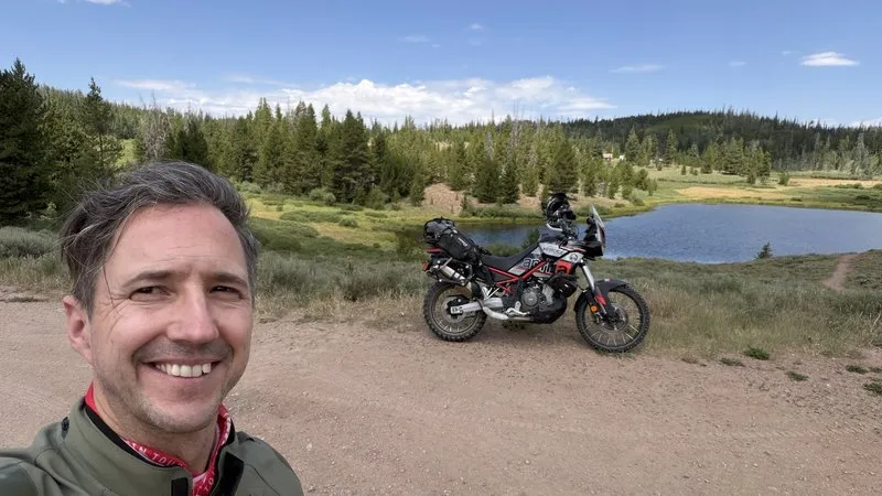
In the end there’s one simple truth, and Clemo nails it. There are trips you can only do on an adventure bike. You can’t cover 190 miles of these tracks in any four-wheel-drive. When you leave the pavement and the gravel begins, it’s a different kind of riding. Suddenly you feel more, you hear more, you sense more. It’s the most intense form of motorcycling there is, and it opens a door that stays shut to the tourist. The highest espresso of your life isn’t waiting at the overlook with the gift shop. It’s waiting up top, near 12,600 feet, where the only way in is to ride there yourself.