
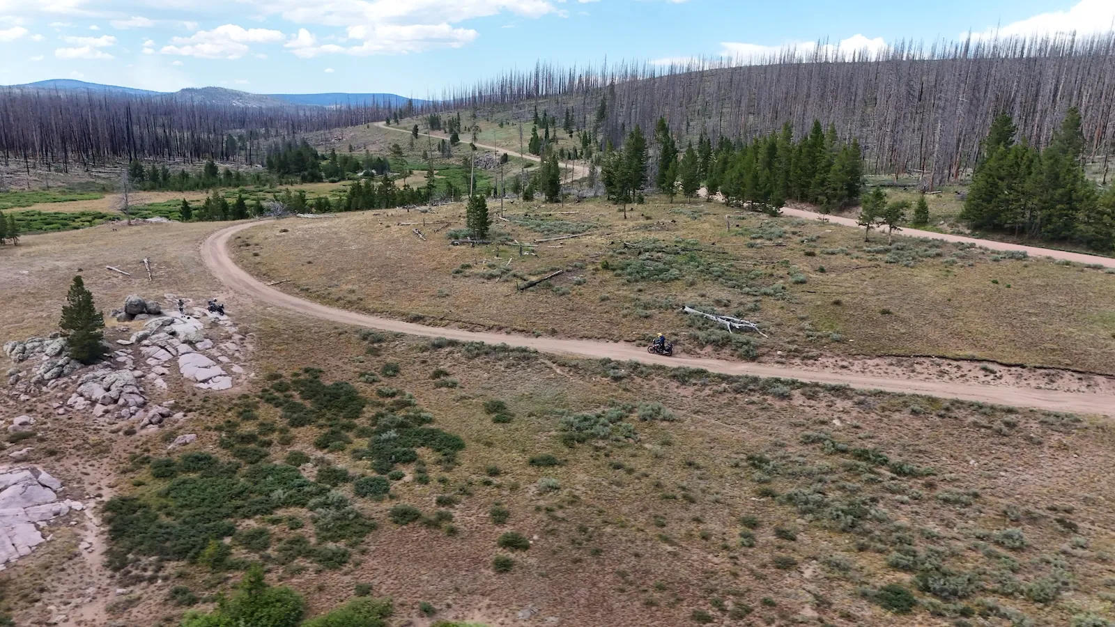
There are two ways to prepare for the Colorado Backcountry Discovery Route. One is to read the glossy brochures and end up at a snowed-in pass, in the wrong month, on the wrong bike. The other is to know beforehand how long the route really is, where the fuel runs out, and what happens when it starts raining at 12,500 feet. Clemo and I rode the COBDR self-guided in July 2026. This is what we’d have liked to know first.
What the COBDR Actually Is
Start with the number everybody gets wrong. The official Colorado Backcountry Discovery Route is 745 miles long and split into six sections. It starts at the Four Corners Monument, where New Mexico, Arizona, Utah and Colorado meet, and finishes at the Wyoming state line. The sections run from 81 miles between Steamboat Springs and the border up to 144 miles between Lake City and Buena Vista.
Our own GPS log says about 1,060 miles. That’s not a contradiction, it’s a different number: it includes getting to the route from Denver, getting home again, and every detour we took because something looked interesting. If somebody tells you the COBDR is 1,060 miles, they’ve mixed up the route with somebody’s trip. Plan 745 miles of route and add your own approach on top. Most riders do the route itself in four to six days. We took eight riding days, partly because we were filming, mostly because nobody should tick off passes this high at a sprint.
In character it isn’t a hard enduro trip. Clemo puts it well: if you can ride gravel confidently back home in Austria, you can ride this. The hard sections have bypasses. What tests you isn’t any single obstacle, it’s the sum of altitude, distance, weather, and the fact that help is a long way off.
The Route, Day by Day
We rode it north to south and back up, in eight riding days. The opening runs along US 40, which crosses the Continental Divide three separate times: Berthoud Pass at 11,307 feet, Muddy Pass at 8,772 and Rabbit Ears Pass at 9,426. Three divide crossings before the trip has properly started.
Then it turns to dirt. Over Lynx Pass and down to the upper Colorado River, a long riverside run on the Trough Road. Remember Kremmling: there’s effectively no gas on that stretch.
Worth knowing if you build your own variant: there’s a second paved divide crossing nearby that beats almost everything for the money. Independence Pass on Highway 82 tops out at 12,095 feet between Aspen and Twin Lakes, the second highest paved crossing of the Continental Divide in the state, and it’s only open from early summer into early fall.
Day four has the biggest vertical spread of the whole trip. From Glenwood Springs on the river at 5,761 feet up over Hagerman Pass at 11,925 feet, a rough four-wheel-drive crossing of the divide, then Weston Pass at 11,921. In between sits Leadville at 10,152 feet, the highest incorporated city in the United States, founded as a silver town in 1877. It’s a good coffee and fuel stop, and an honest test of how your body handles altitude.
Day five links two passes worth knowing. Cottonwood Pass takes you to 12,126 feet on pavement, the highest paved crossing of the Continental Divide. Right after it comes Cumberland Pass at 12,034 feet, unpaved and still the highest through road in the country that an ordinary car can drive. It was built in 1882 to haul ore from Tincup down to the railroad at Pitkin. The day ends over Slumgullion Pass into Lake City, whose north side is the steepest continuously paved road in Colorado at nine percent, and you ride it downhill into town.
Day six is the big one: the Alpine Loop. Sixty-five miles of unpaved road linking Lake City, Silverton and Ouray, with four passes above 12,600 feet. Engineer at 12,800, California at about 12,930, Cinnamon around 12,640, plus Hurricane. All of it above treeline, loose rock, exposed switchbacks.
The last two days cross the western San Juans to Durango and then run back north on US 550: Coal Bank Pass at 10,640 feet, Molas Pass at 10,910, Red Mountain Pass at 11,018. That’s the Million Dollar Highway, which Otto Mears blasted into the rock as a toll road in 1883. Tight curves, almost no guardrail, drops straight off the edge. At the end sits Ouray at 7,792 feet, which has called itself the Switzerland of America for as long as anyone can remember, because the mountains stand up almost vertically on three sides of town.
Bike and Logistics: Colorado Motorcycle Adventures
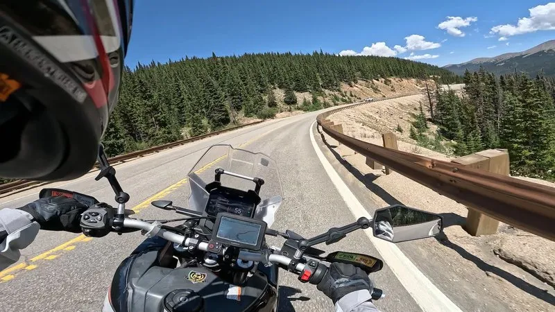
We rode self-guided, and that only works with a partner on the ground. Both our Aprilia Tuareg 660s came from Colorado Motorcycle Adventures in Golden, near Denver. They don’t just hand you a bike. They mount the GPS with every track loaded, add the Butler map, and handle the logistics. Clemo’s summary fits: you fly over, and that’s it.
If you’d rather not do it alone, they also run guided tours with an experienced lead, a sweep, a support vehicle and luggage transport. Phil from CMA told us they keep around 47 rental bikes, from BMW GS through KTM to Aprilia, plus route planning, off-road training and their own workshop. For the BDR they’re the go-to partner in Colorado.
One piece of Phil’s advice deserves your attention: don’t ride alone. Two weeks before we met him, it took two of them a full hour to get a downed bike upright again. Solo, he says, there’s no way.
The Best Season, and What Altitude Does
The official window for the COBDR is July through September. Late June can work depending on snowpack, but the high passes often don’t open until July. A local up at Crooked Creek Pass framed it differently: you start in late May or early June, it ends in November, and it can snow anytime, even in August.
The daily pattern matters more than the month. Phil’s warning is worth repeating: when it rains at altitude, the temperature can drop 30 degrees Fahrenheit, and fast. We measured 99 degrees down in the valley and barely above freezing up top in the rain, on the same day. Afternoon thunderstorms over the open high country are normal, not exceptional. Ride the high passes in the morning.
Fuel: The 120-Mile Reality
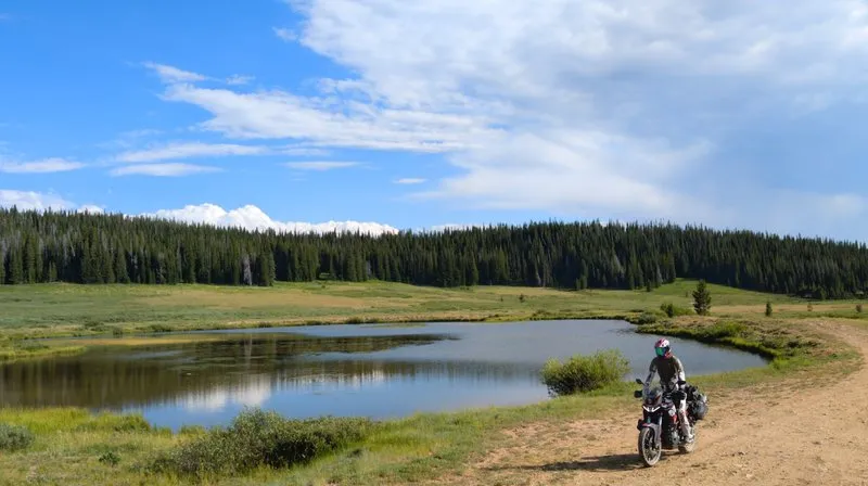
This is where planning actually bites. One day we covered 120 miles without seeing a single gas station. On the COBDR that isn’t a fluke, it’s the design.
Three places to memorize. Kremmling, before the long river stretch. Lake City, the last fuel before the entire Alpine Loop, because there is none between Lake City, Silverton and Ouray. And the seasonal supply points around Taylor Park, which you shouldn’t count on blindly. A local out there rides with 150 to 175 miles of range and straps on fuel bags when he knows the leg is long. That’s the honest benchmark.
Who Should Ride This
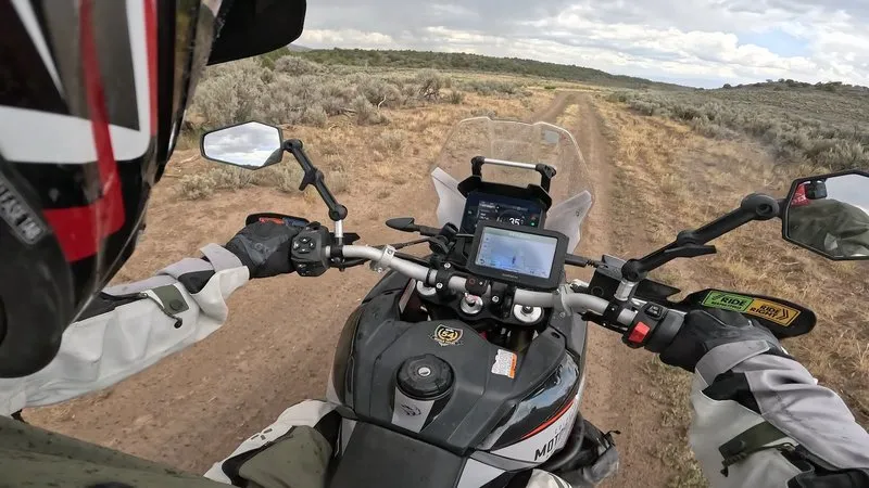
You need solid gravel experience, not race fitness. You need respect for altitude: at 12,500 feet you’re out of breath before you believe it. And you need a partner, a communication setup that works, and the willingness to change the plan.
Wildfires and closures are part of it. We got caught once, the road shut because of a fire. You’ll find that on Google Maps, which marks active fires, and on onX, the off-road platform. But the most reliable source is talking to people along the way. In Colorado that isn’t small talk, it’s how information moves. Somebody at every gas station rode the track ahead of you, and nobody finds it odd that you asked.
Our verdict after eight riding days: this route genuinely earns the recommendation, and the difficulty sits exactly where an adventure bike belongs. Plan 745 miles, add your own approach, go between July and September, fill up in Kremmling and Lake City, and don’t ride it alone.